
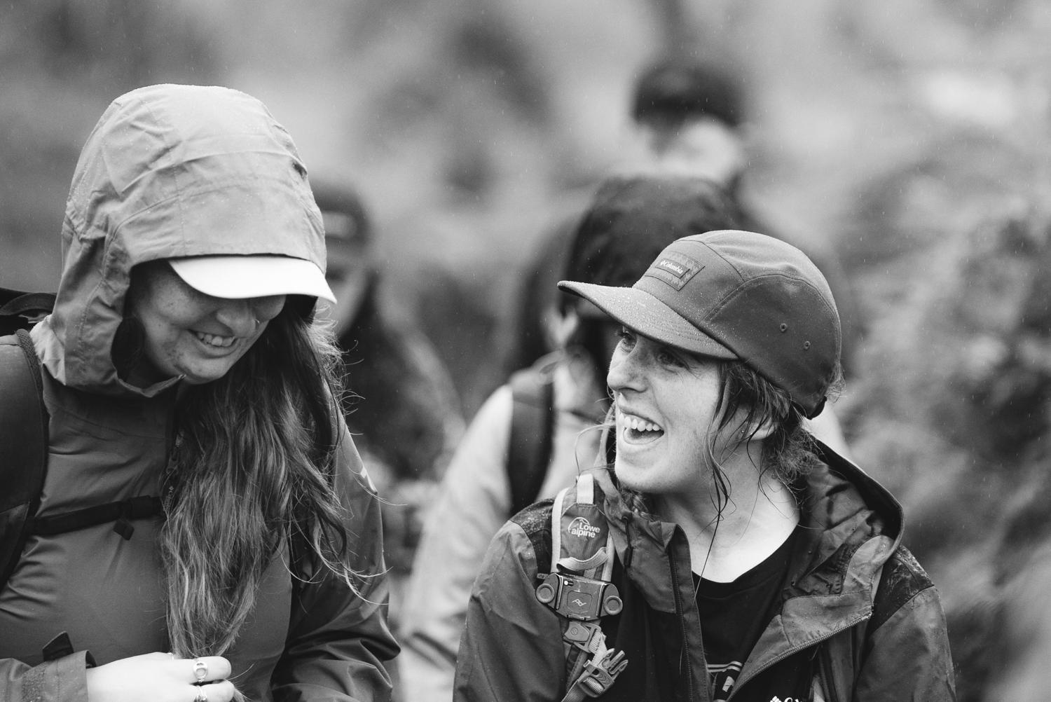
For nine years, I’ve walked and documented Ireland’s incredible trails. Thousands of kilometres and just as many hours, I’ve spent my life in the Irish elements, falling in love with our amazing landscapes and habitats.
And now I want to share it with you.
In 2024 I became a Lowland Leader, which means I’m qualified to bring groups out on the tracks and trails I’ve grown up on. This summer, I’m starting small with my own series, and hopefully I might see you on one of them.
A big goal of mine for these hikes is to create a space to meet new people and make friends with people who want to spend time outdoors!
1. Beginner Hike: Howth Head Trails
Accessible from Dublin City via public transport, Howth Head offers so many options for a morning walk.
Come for a laid back morning walk along Howth Head. Meet others and make friends with people who want to spend time outdoors!
Details:
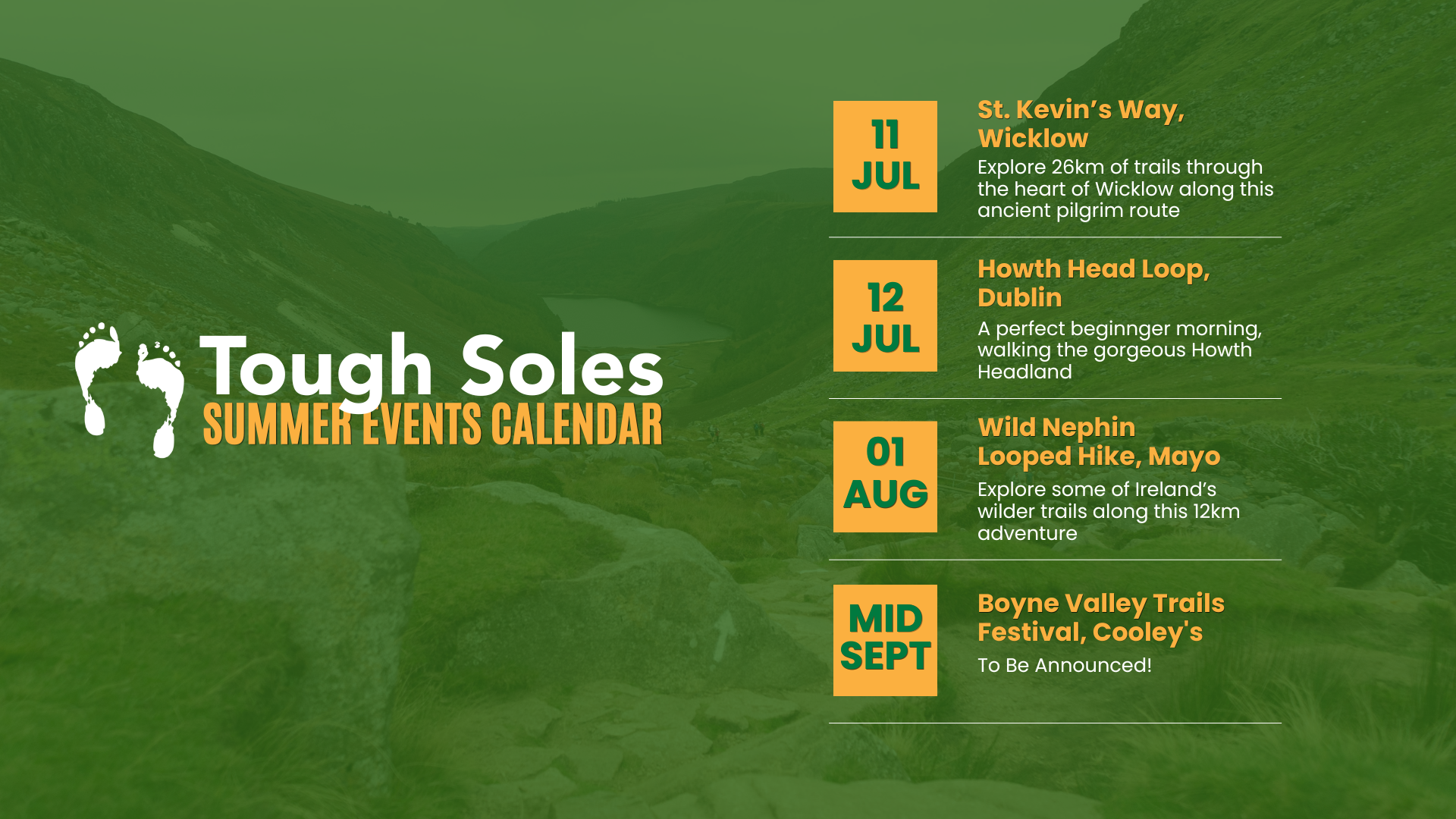
Date: 12th July 2026
Meeting time: 9:15am
Duration: approx. 3hrs
Pace: relaxed!
Trail Grade: Easy - Beginner
Mainly on easily identifiable paths, with good underfoot conditions. This is a beginner friendly walk! Weather permitting, we will be taking in the gorgeous views from Howth hill and the cliffs.
All walks are led by qualified and insured leaders. Feel free to email me with any questions - ellie@toughsoles.ie
Public Transport:
The timing of this hike has been set to give participants time to get the bus from Dublin City Centre: find the Dublin Bus Route 6 timetable here.
When: Sunday 12th July
Where: Howth Head
Meeting time: 9:15am
Duration: approx. 3hrs
Pace: relaxed!
Trail Grade: Easy - Beginner
on easily identifiable paths, with good underfoot conditions. Learn more about trail grades here.Public transport: Dublin bus route 6
This is a beginner friendly walk to enjoy the fantastic trails around Howth Head at a leisurely pace. Hopefully with good weather will let us also see the great views out over the Irish Sea.
Total group size will not exceed 10 people. Tickets €15 per person.
2. Beginner / Intermediate: Wild Nephin National Park Loop
Explore some of Ireland’s wilder trails in Wild Nephin National Park! along this 12km adventure
Details:
Date: 1st August 2026
Start Time: 10am
Start Location: Letterkeen Trail Head (Google Maps)
Distance: 12km
Approx. Duration: 3 hours
All walks are led by qualified and insured leaders. Feel free to email me with any questions - ellie@toughsoles.ie
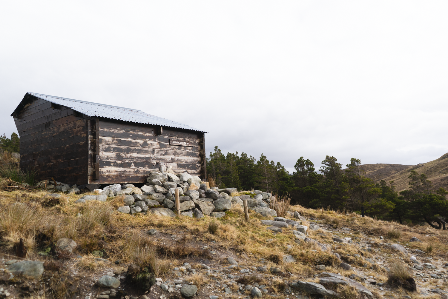
Along this 12km adventure we’ll experience the desolate beauty and wildness that still exists in Ireland, as well as finding some of Ireland’s only bothies.
Date: 1st August 2026
Start Time: 10am
Approx. Duration: 3 - 4 hours
Trail Grade: Easy - Moderate
Learn more about trail grades here.
This route is inspiring whether you're new to the trails, or a dab hand at the hills. The Wild Nephin National Park is a stunning setting.
Group will be kept small to minimise impact to the natural landscape. Tickets €25 per person.
3. Intermediate: St. Kevin’s Way, Wicklow
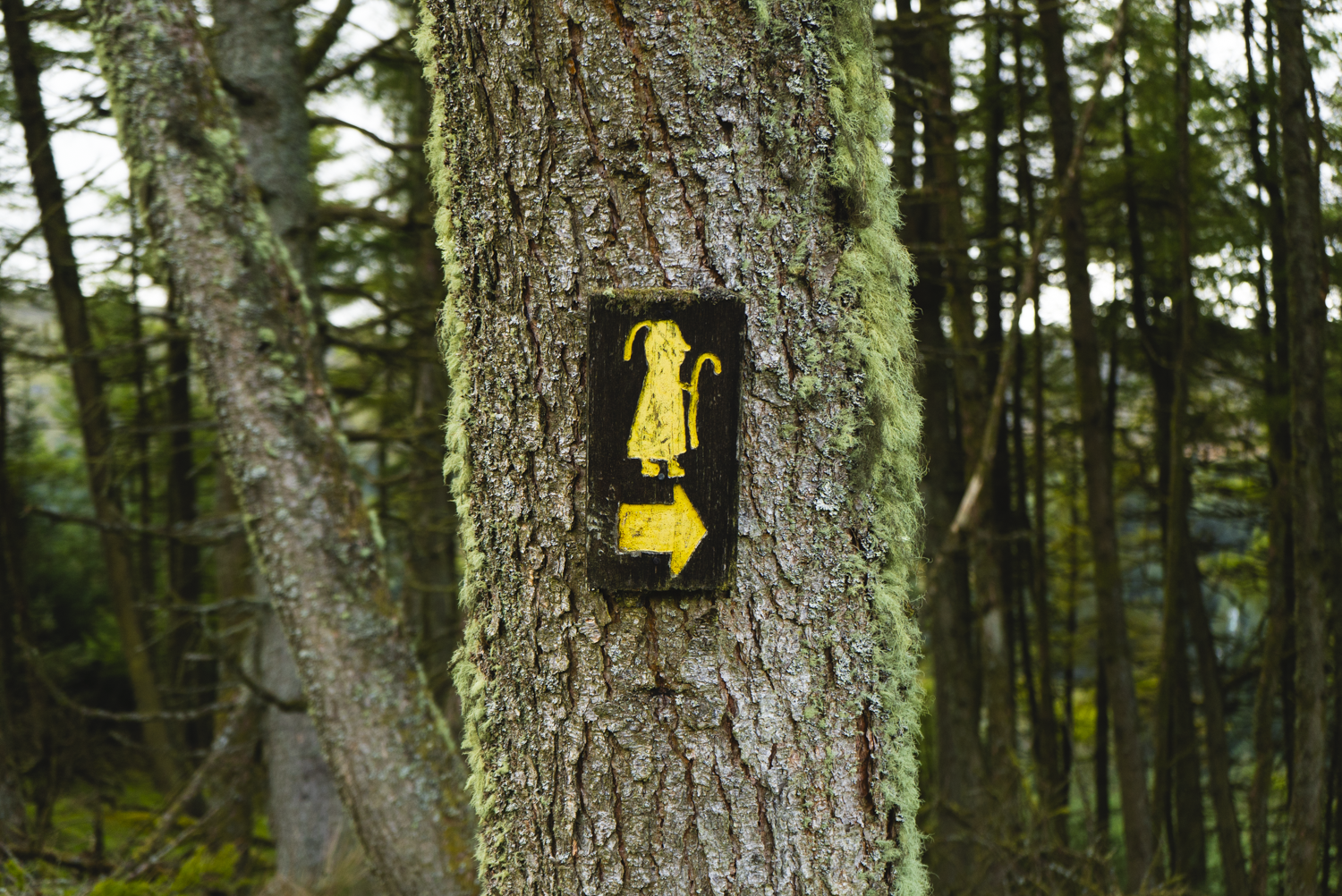
St. Kevin’s Way is a gorgeous 26km trail that winds its way through the heart of Wicklow.
Details:
Date: 11th July
Start time: 9am at the Glendalough Upper Car Park (Google maps)
Finish time: approx. 6pm
Included in the ticket price is an Irish Camino Passport, car parking at Glendalough, and shuttle bus. This is a full day event, and all attendees will need to bring a packed lunch and lots of snacks.
All walks are led by qualified and insured leaders. Feel free to email me with any questions - ellie@toughsoles.ie
St. Kevin’s Way is a gorgeous 26km trail that winds its way through the heart of Wicklow.
Date: 11th July
Start time: 9am
Finish time: approx. 6pm
Trail Grading: Easy - Moderate
This is a waymarked route with some road walking, as well as more informal paths, rougher, boggy and more uneven terrain. Learn more about trail grades here.
Included in the ticket price is an Irish Camino Passport, car parking at Glendalough, and shuttle bus.
This is a full day event, and all attendees will need to bring a packed lunch and lots of snacks. What makes this trail difficult is not the underfoot terrain, but the length of the day.
Tickets €36 per person.
4. To Be Announced: Boyne Valley Trails Festival 2026
Date: mid-september
Trail grading: easy-moderate
Details will be updated once events are announced - all I can say for now is that I am so excited to get to come back to the Boyne Valley Trails Festival again this year for some more fantastic hiking.
For the most up to date info, check out the Boyne Valley Trails Website.
Important notes:
Plans in the Irish outdoors are subject to our wild weather and the sustainability of the habitat - I’ve already changed one hike location due to recent fires. This is to give the habitat adequate time to recover this summer, and to make sure that we have the best possible experience.
Pre-booking is essential. My permits for events and safety planning are based on specific numbers of attendees. If you’ve any questions, please email hello@toughsoles.ie .
Checking the Tough Soles Events Page is the best place to find up-to-date information on upcoming events.